Directions: The 15-20 minute hike to Trent River Falls trail heads occupies a space on the upper island highway at the Trent River bridge just past Cumberland. Access to the trail is from both sides of the highway is possible, although not recommended and there is definitively a right way. Entering from the south-bound lane, just before the bridge coming from Comox, there is an unofficial parking lot and much safer access for both the hiker and road users.

Trail: From the parking lot, you will walk towards the underside of the bridge past a yellow gate. To access the trail to the falls, pass under the gate to the north-bound side of the bridge. The path to the falls will take around 15 minutes to hike. You will hike up two steep hills before reaching a well-traveled trail that crosses this path. Take a right down this trail until you reach a fairly vertical hike down to the river. Although ropes secure your way down the canyon side, here is steep, and the earth is loose, not recommended for anybody with bad joints or unsupervised children.
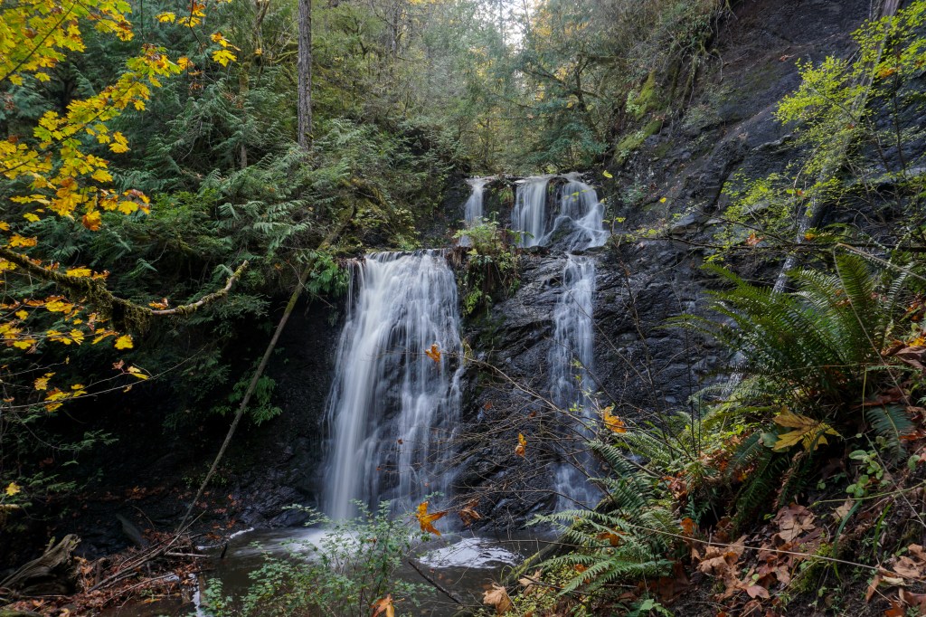
Down-stream from the falls around a 10 minute wobble past the banks of shale and fallen trees is a small stream on your left side. Follow this stream to the end for an arguably even more beautiful water fall.

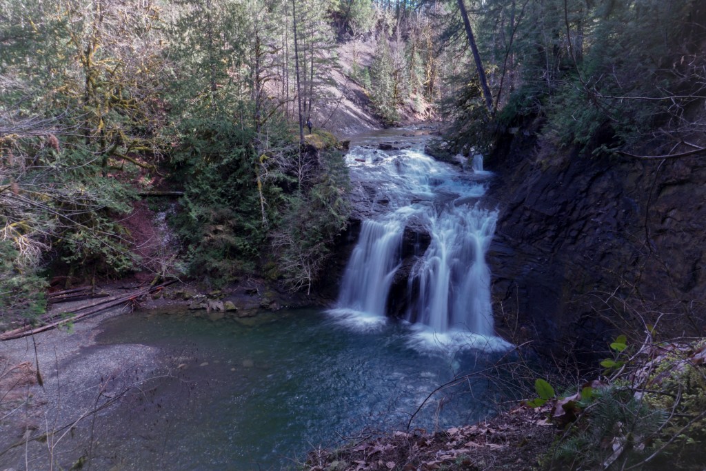
Prehistoric Past: This is a great place to swim in the early summer while the water is still high. As a bonus, you can reach the top of the falls by a rope some fellow hiker has set up, by basically reverse billeting up some hard stone. The set up is to the left side of the falls. When the river is low in the late summer, Trent River is a great place to set-up picnic and search for fossils from a pre-historic ocean. Trent River carves through a black shale geologic feature on and around Vancouver Island called the Haslam Formation.
These formations capture sea creatures frozen in time from a period between 83 and 86 million years ago called the Santonian Epoch, a subdivision of the Upper Cretaceous Series. Along the sharp banks you can search through brittle stone which may encase ammonoid cephalopods (basically an extinct family of shelled squids), crabs, and bivalves, along with some other inhabitants whose fate became compacted within layers of clay minerals for millennia.